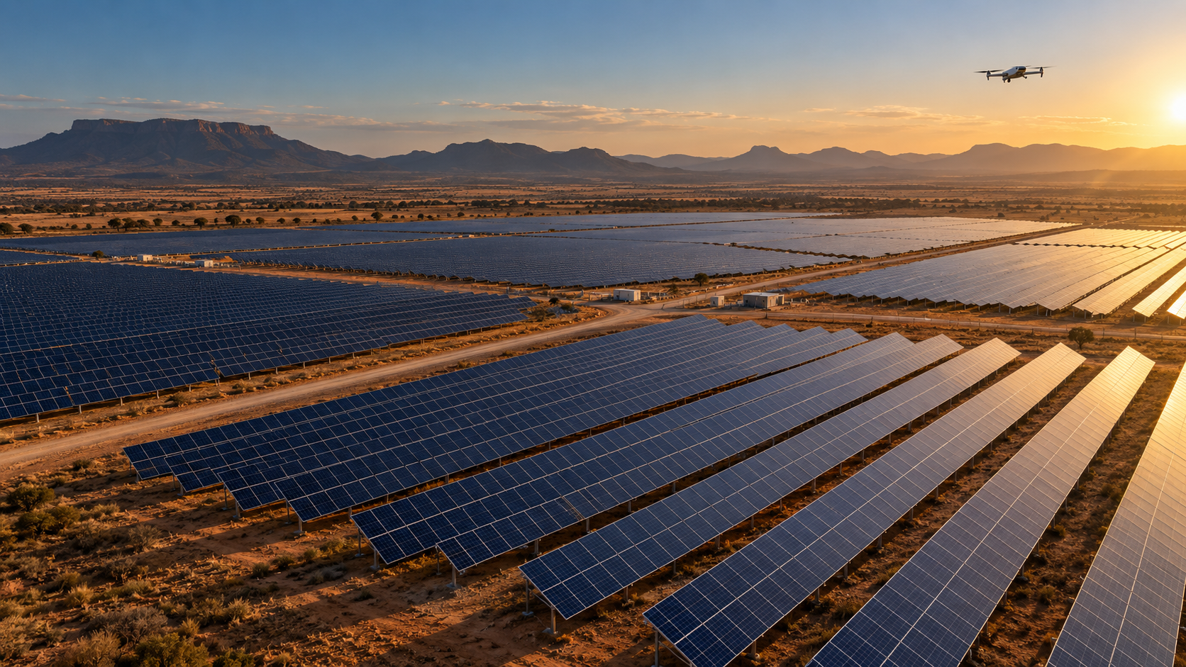
Solar PV · Inspection · Mapping · Film
See what the site is telling you.
Purpose-built aerial capture for teams that need dependable evidence—not just another set of images.
Aerial intelligence
From heat signature to terrain model.
Ibex Aerial plans each mission backwards from the decision you need to make—then matches the aircraft, sensor and flight plan to that outcome.
Our current priority is solar PV and technical inspection, supported by LiDAR, mapping and specialist media capability.
Capabilities
Solar PV intelligence
Repeatable thermal, visual and geospatial capture for utility-scale solar assets—from construction through operation.
Explore capabilityAerial inspections
High-resolution visual and thermal capture for assets that are difficult, dangerous or slow to inspect from the ground.
Explore capabilitySurveying & mapping
LiDAR and photogrammetry missions designed around the decisions the final dataset needs to support.
Explore capabilitySolar PV intelligence
Find the signal in the field.
Radiometric thermal and high-resolution visual capture can reveal where closer investigation should begin across large PV assets.
The Matrice 4T supports agile thermal screening, while our mapping platforms establish repeatable site context and construction records.
Solar servicesHow a mission moves
Define the decision
We establish what the flight needs to prove, measure or document.
Assess the site
Airspace, operating area, weather, access and permissions shape the plan.
Match the system
Aircraft and sensor are selected for the deliverable—not the other way around.
Capture consistently
The team flies a controlled, repeatable mission with field quality checks.
Deliver useful evidence
Outputs are structured for practical review and specialist downstream work.
Protected by default
The work exists. The data stays private.
Much of our current work contains sensitive site, infrastructure or client information. Public case studies will appear only when publication is cleared.
How we handle workAircraft & sensors
A fleet built around the output.
DJI Matrice 4T
Fast-deployment radiometric thermal and visual inspections for PV modules and infrastructure.
View full fleetField guides
Know what happens before take-off.
Plain-language guides to commercial drone operations, site readiness and realistic approval lead times.